By Zach and Eddie
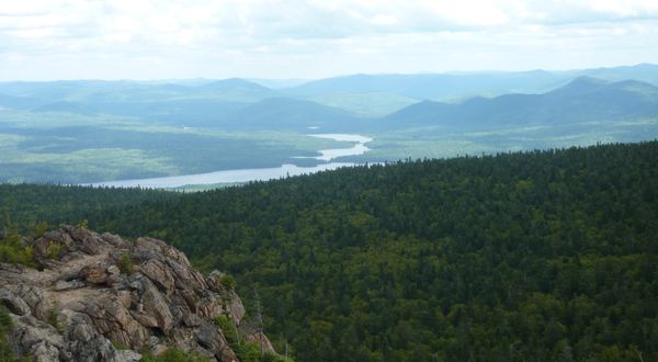
The topography of the Appalachian region includes a varied landscape of rolling hills, valleys, small mountains, highlands, and coastal fjords. On the east coast of Canada.

Near St. John Nova Scotia
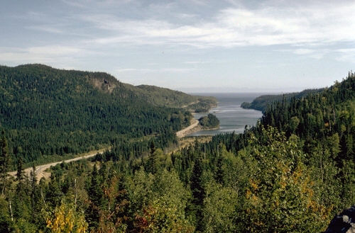
The topography of the Canadian shield includes hard, rigid rocks surrounded by younger continental land forms. But land has been weathered down to flat, bare rock, lakes and wetlands.

Near Fort Smith, Northwest Territories
The topography of the arctic region includes plains, lowlands, and mountains. Pressure at the northeastern edge of the Canadian Shield pushed up sedimentary rock to form a range of fold mountains.

Devon island, Nunavut
The topography of the St. Lawrence Lowlands are made up of flat, rolling valleys that is very suitable for farming. This region was formed mostly by the retreating ice that covered most of Canada during the last ice age.

southern Ontario
The topography of the interior plains consist of wide, flat spaces and grasslands. Other areas of the regions are covered by boreal forests.

Alberta southern prairies
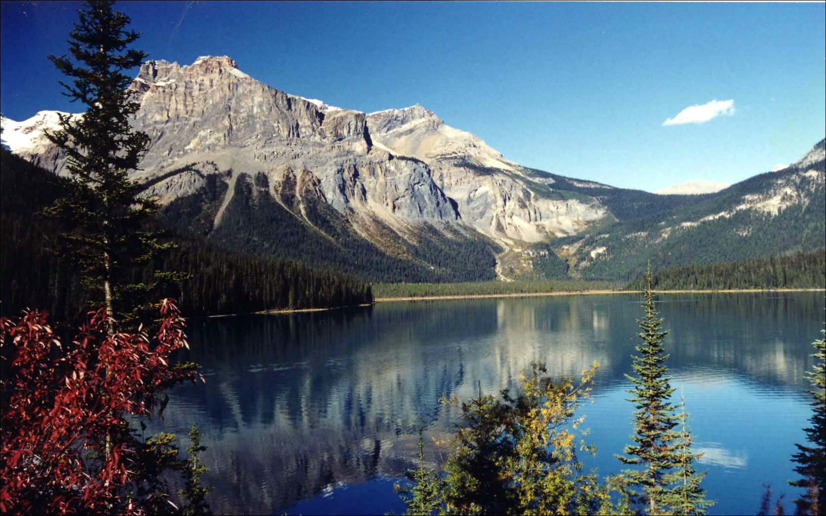
The topography of the Cordillera is the most mountainous region of Canada. The Cordillera includes dormant volcanoes lakes, rivers, and this region has lots of forests.

emerald lake, British Columbia
February 7, 2016 at 2:43 am
Excellent job. Just missing your highlighting of topographic terms.