
Type: Cirrus
Time: 6:49pm
Date: November 2019
What is a Cirrus cloud?
Usually fair weather however can indicate a warm front with eventual rain. 6km up, its composed of ice crystals, thin, what feathery appearance.
Why?
This cloud looked to me as it showed streaky long lines, almost gloomy faded and presented a feathery appearance.

Type: Stratocumulus
Time: 8:30pm
Date: August 2019
What is a stratocumulus cloud?
Usually form from a layer of stratus cloud breaking up. They are indicators of a change in the weather and are usually present near a warm, cold or occluded front.
Why?
It looks light a straight line of clouds looking more fluffy but has that layer of cumuliform clouds that makes it a stratocumulus.
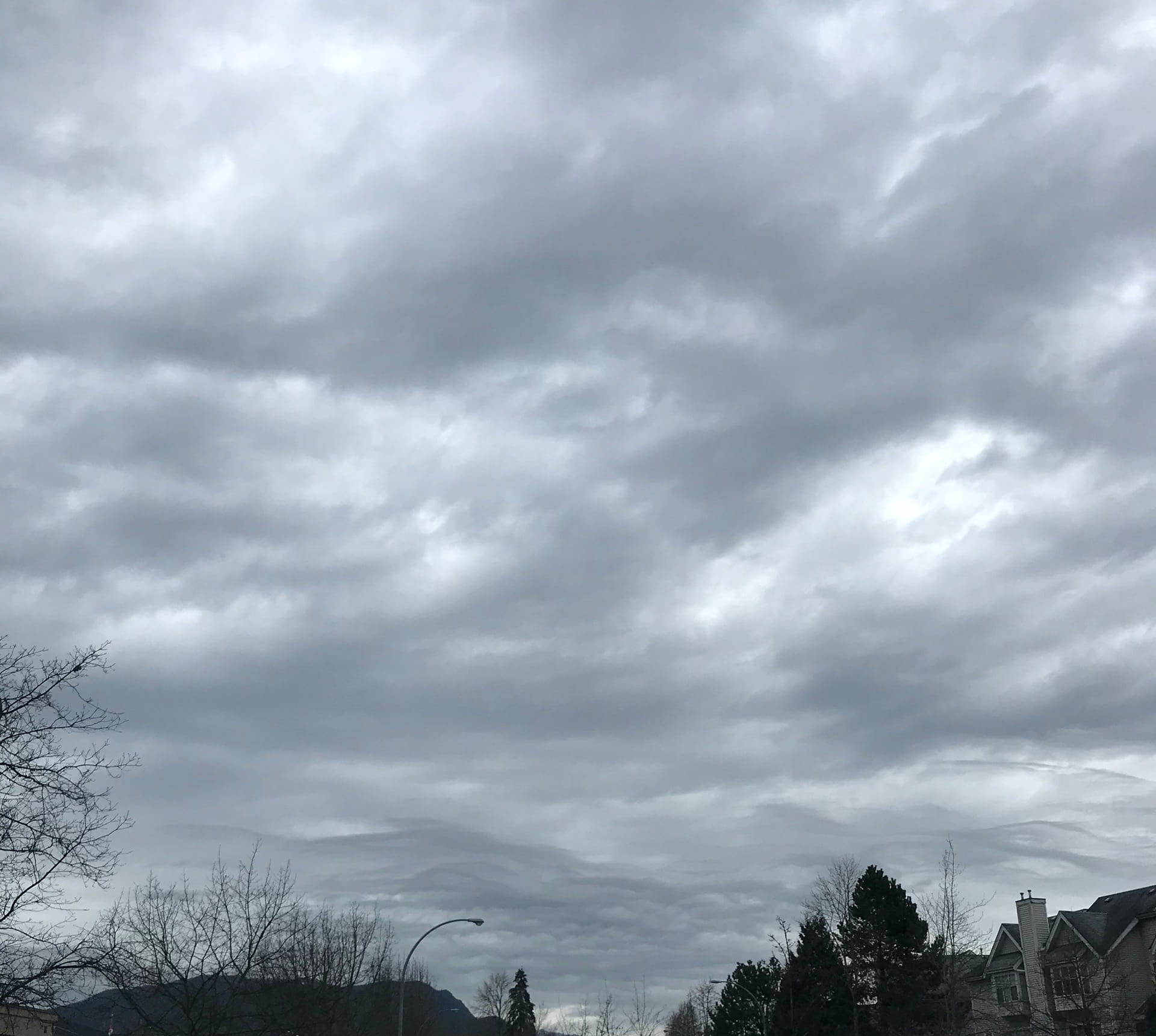
Type: Nimbostratus clouds
Time: 8:30am
Date: March 4, 2020
Why is a Nimbus cloud?
These mid-level clouds are often accompanied by continuous moderate rain or snow and appear to cover most of the sky.
Why?
The cloud appeared as stratus fluffy clouds with a hint of grey. It represents rain or snow and it ended up raining that afternoon.

Type: Cumulus
Time: 1:58pm
Date: March 6, 2020
Why is a Cumulus cloud?
A type of cloud that appears a puffy, fluffy cloud that sometimes look like pieces of floating cotton. Almost like cotton candy.
Why?
What you see here are fluffy white clouds almost representing like whipped cream on a sunny evening with some cool wind.