Physical Regions of Canada
There are six Topographic regions in Canada. Topography is about the landscape of a certain region. The six regions are; Arctic Region, Cordillera Region, Interior Plains Region, Canadian Shield Region, St. Lawrence Lowlands Region and Appalachian Region.
The Arctic Region contains plains, lowlands, and mountains, it also contains a range of fold mountains.
 This is Devon Island in Nunavut, this Island is located in The Arctic Region.
The Cordillera Region has lots of parallel mountain ranges that are separated by plateaus, trenches, an valleys in the province of British Columbia.
This picture was taken by me in Lillooet, it is a really large and long valley.
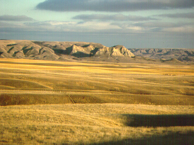
The Canadian Interior Plains Stretch from the Canadian Shield to the Cordillera mountains. The Interior Plains contain flat spaces, grasslands and rolling hills.
 I don’t exactly know where this picture was taken, but I think it is really cool, because you can see a really flat land and rolling hills the background.
The Canadian Shield Region is full of rocks, and that’s where it got it’s name, because there’s rock everywhere in this region.
 This picture was taken in Northwestern Ontario at Perrault Falls.
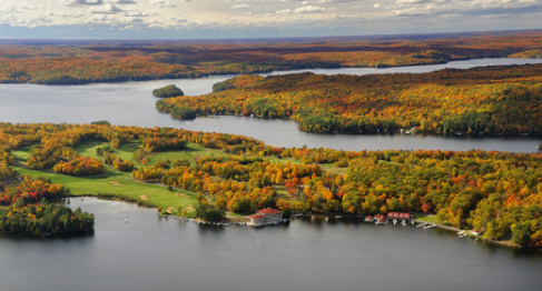
The St. Lawrence Lowlands where made by retreated ice sheets that covered most of Canada during the ice age. Soils from the Canadian Shield were pushed to where the lowlands are today. And the ice sheets that melted became lakes.
 The lakes on this picture are located in Muskoka, Ontario.
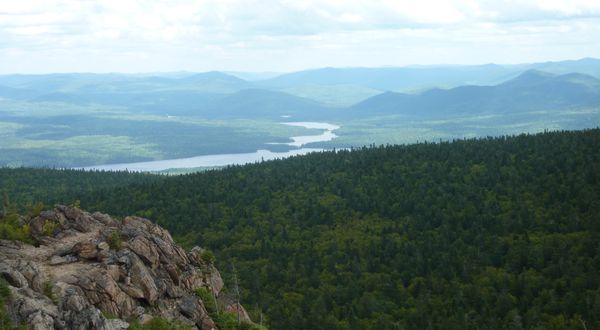
The Appalachian Region consists of coastal fjords, highlands, small mountains, rolling hills and valleys.
 This picture of small mountains and a valley was taken near Saint John, New Brunswick.
And this concludes the Physical Regions of Canada. Post made by: Botond Diosy. (I didn’t have a partner on this.)

Nicely done. Good choice of images and it was nice to see your own picture in it.